Creating and Calibrating an All-Pipe Hdyraulic Model
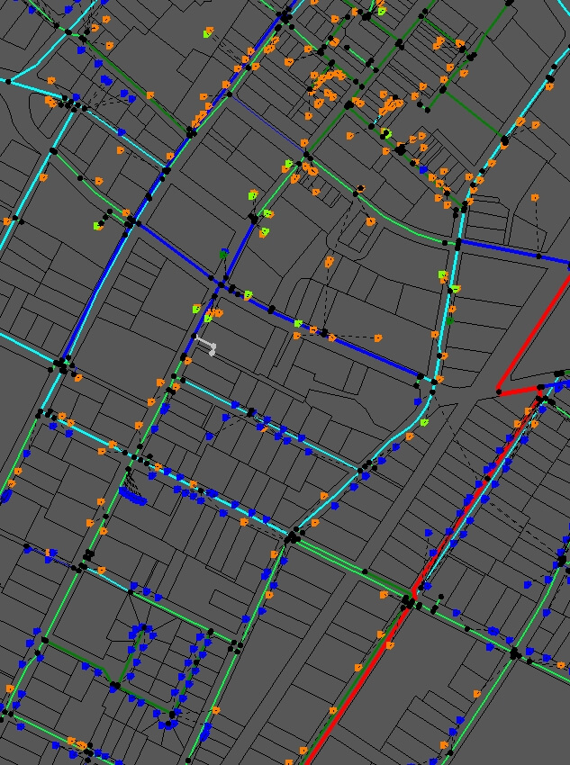
With the continual improvement of City GIS data management, a higher level of detail is available with most city assets. Historically, hydraulic models have been highly schematized and simplified to account for either lack of data or lack of computing power. Progress in both of these areas has allowed for the creating of complete models that include the entirety of a distribution system, from 48" pipes at the treatment plant to 1" or 2" lines serving customers. After a successful calibration process, the model can be used to help make system operation decisions, pinpoint long term planning efforts, and create hypothetical emergency response scenarios to determine the best course of action.