
Your World Visualized
GIS for Presentation
From Small Web Graphics to Poster Sized Print Outs
With experience working with both static presentation materials and dynamic web applications, jenComp can deliver the graphics you need. Using publically available imagery or vector data, paid services, or putting data you've collected on the map, attractive illustrations can be put together for analytics, marketing, and more.
Maps add context to your project in a way that renders or charts simply cannot. When used in combination, it is possible to create information dense visuals that offer further cues to the audience. Recently received a data dump that seems overwhelming? I can help with data reduction, analysis, and presentation. With both desktop producitivy and database knowledge, jenComp can pull meaningful results from your data and provide images that depict what that data actually represents.
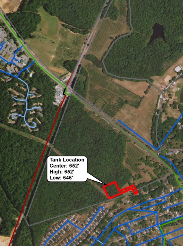
Head on over to the project gallery and see some examples of how I've used GIS to create visuals either comprising an enitre deliverable or to assist with other content in making a ponit.
Back to Services


