
Your World Visualized
GIS for Modeling
Using Geographic Data to Create Mathematical Models
Unlike geospatial data used purely for presentation, data that serves as a model input or framework needs to adhere to strict topology rules. The intersection of lines, location of points, and borders of polygons all need to conform to guidelines that allow the model to interpret this data as a meaningful condition. Older datasets that were either digitized by hand or drawn in non-topologically aware programs can have flaws that make them unusable for modeling purposes. The good news is that these layers can usually be cleaned to the point that they are acceptable for use in modeling software.
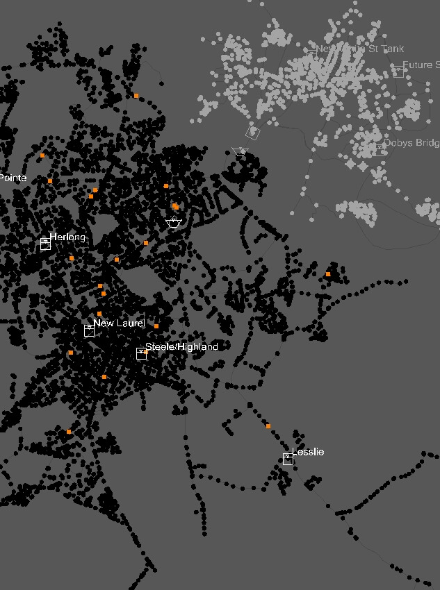
Environmental models can scale from miniscule, single function systems to globally-aware simulations. Various software is available to make use of the data you have and return actionable information for project planning purposes. Versed in software capable of both air and water transport modeling, I've worked on pressure pipe models that contain nearly 100,000 elements and models that consist of only dozens. Steady State, Extended Period, and Transient simulations are all within my wheelhouse. Whether you need help with getting your data model-ready or running simulations, I can help.
Head on over to the project gallery and see some examples of previous modeling projects I've worked on.
Back to Services


